The Urban and the Territorial
Housing in Mérida, YucatánThis is the 3rd studio sponsored by INFONAVIT, the National Workers Housing Institute of Mexico. As in previous years, this studio seeks to generate new ideas for fostering sustainable urbanism through housing, and to address the spatial and social concerns related to sprawl through the lens of a comprehensive and critical planning and urban design studio.
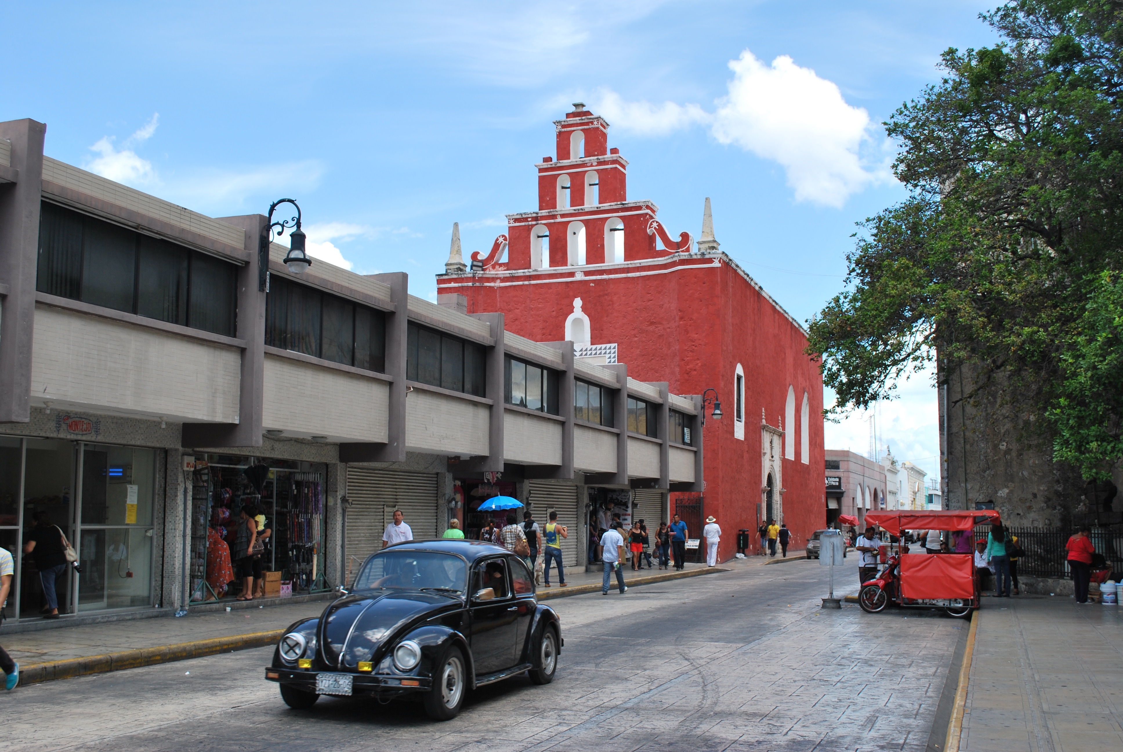
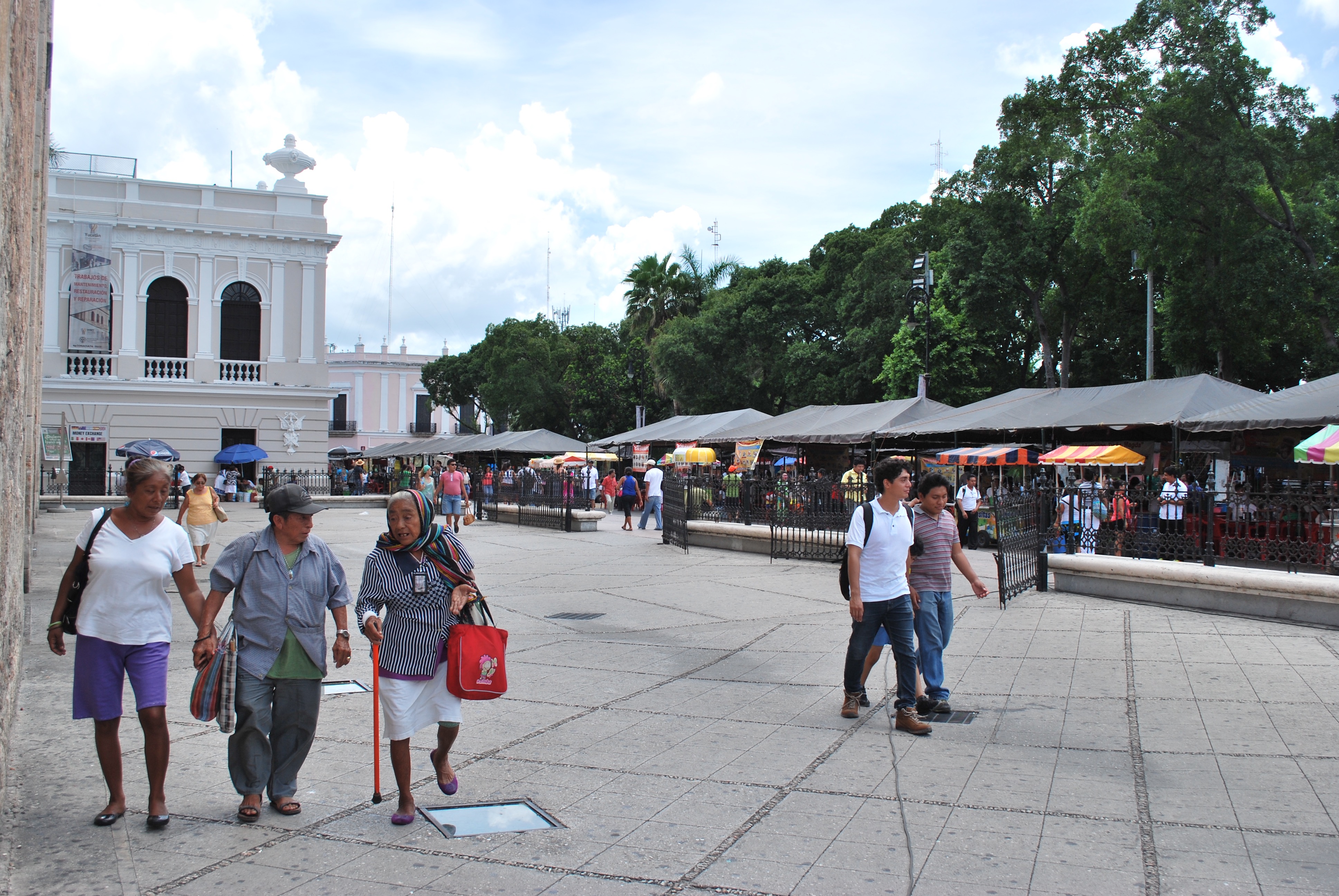
The studio will work in the city of Merida, a mid-sized city in the Yucatán Peninsula known for its Mayan roots and unique cultural and social character. Founded by the Spanish in 1542 in a region holding three major Mayan Archeological sites nearby (Uxmal, Chichén-Itza and Izamal), Mérida became the most important colonial city in the Yucatán Peninsula. Known as the ‘white city,’ Merida and its surrounds have been described as “one big flat slab of limestone’ gently slanting into the sea.” The Yucatán Peninsula has particular geological conditions: namely, limestone soluble to water, which means there are no major rivers but rather an underground water system that produces sinkholes called cenotes. This limestone also relates to the whiteness of building materials, colors, and character of Yucatán cities.
In the mid-nineteenth Century, Yucatán was a hub in the global trade of henequen or the agave fiber, a rather important raw material for the textile industry. This produced an incredible level of wealth, evident in both the city of Mérida as well as in the large agricultural estates (known as haciendas) that spread across the Peninsula. In addition, strong maritime routes connected the port of Progreso, forty-five minutes north of Mérida, to Europe and North America. After 1938, with the invention of nylon, the Merida economy collapsed, and it had to readapt over half a century to a different economic reality. Nowadays Mérida’s economy, focusing on tertiary activities, is fairly robust with one of the lowest unemployment rates in the country.
Merida’s growth and spatial structure are tied to the history of the region. In 1950, 43.50% of the state’s population lived in communities of less than 2,500 inhabitants. By 2010 that number had decreased to 16% as Merida’s population grew. Today the Mérida metropolitan region accounts for close to 50% of the state’s population. Over the past 30 years, the metropolitan area of Mérida has grown in population from 444,000 to over a million inhabitants, while also multiplying in size almost 5 times. This has strained local infrastructure, established the territorial conditions for environmental unsustainability, and relegated poorer residents to the periphery in ways that have reinforced social exclusion, exacerbated income segregation, and threatened the cultural and natural habitats of the city and its surrounding towns.
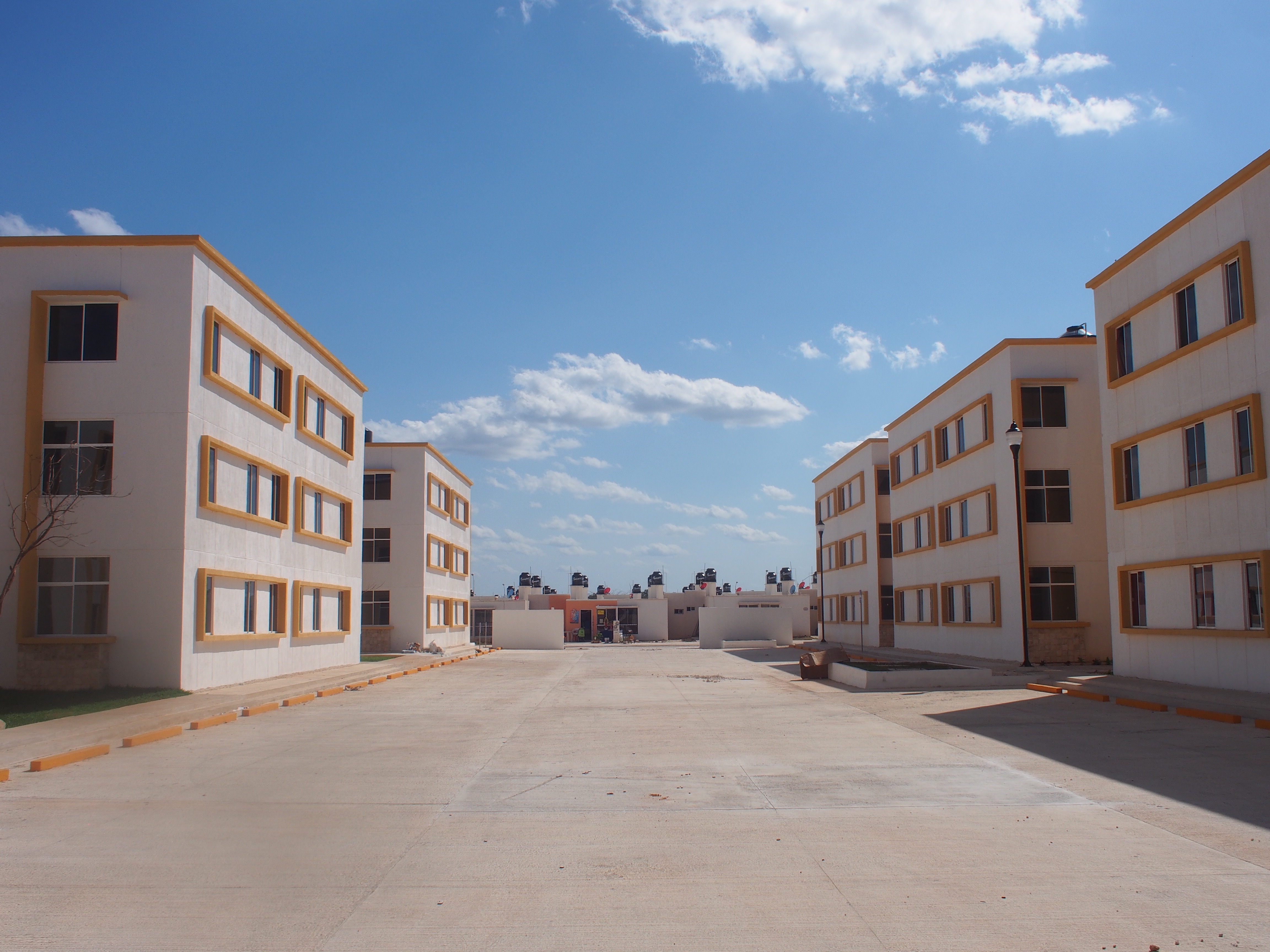
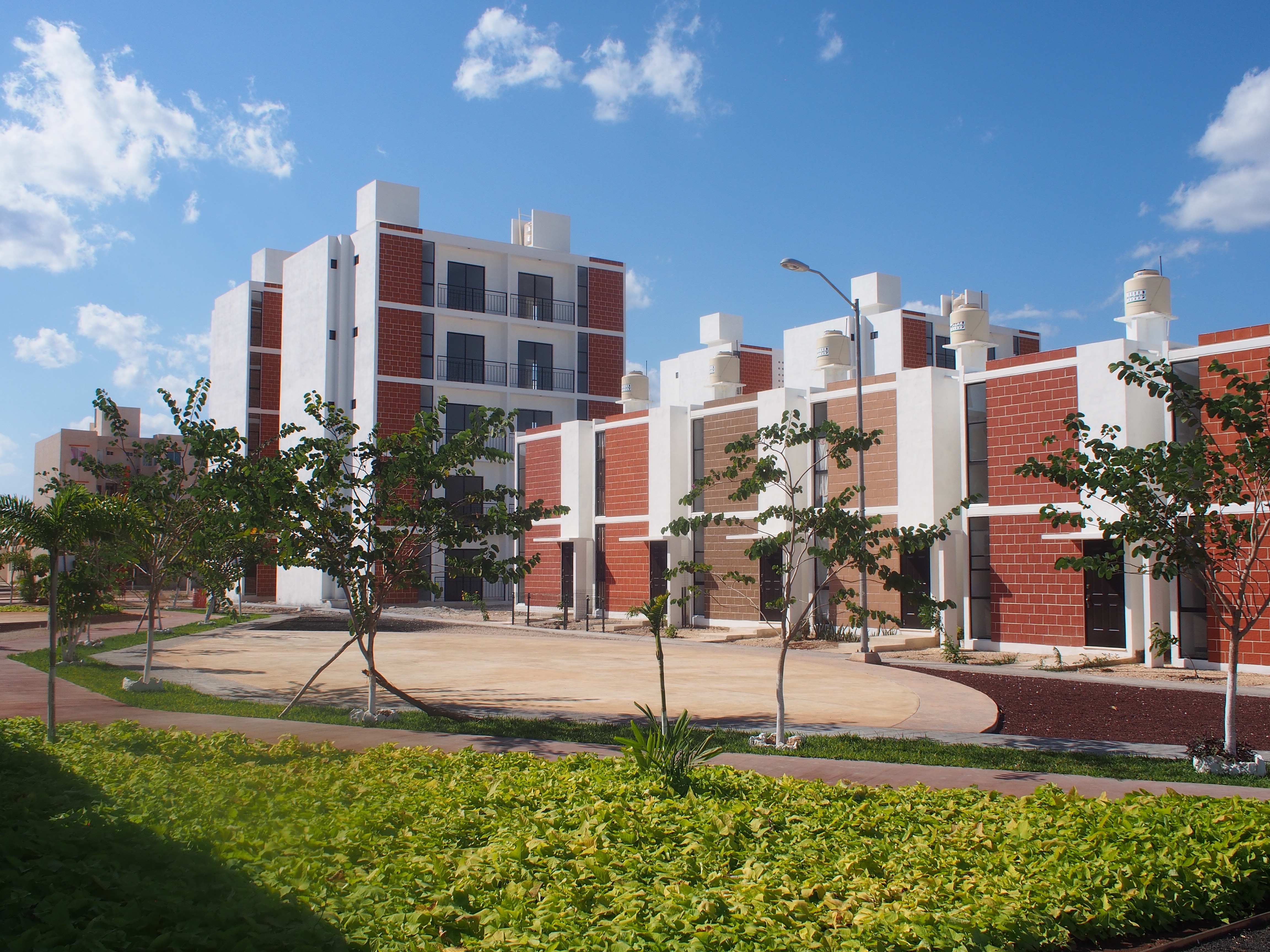
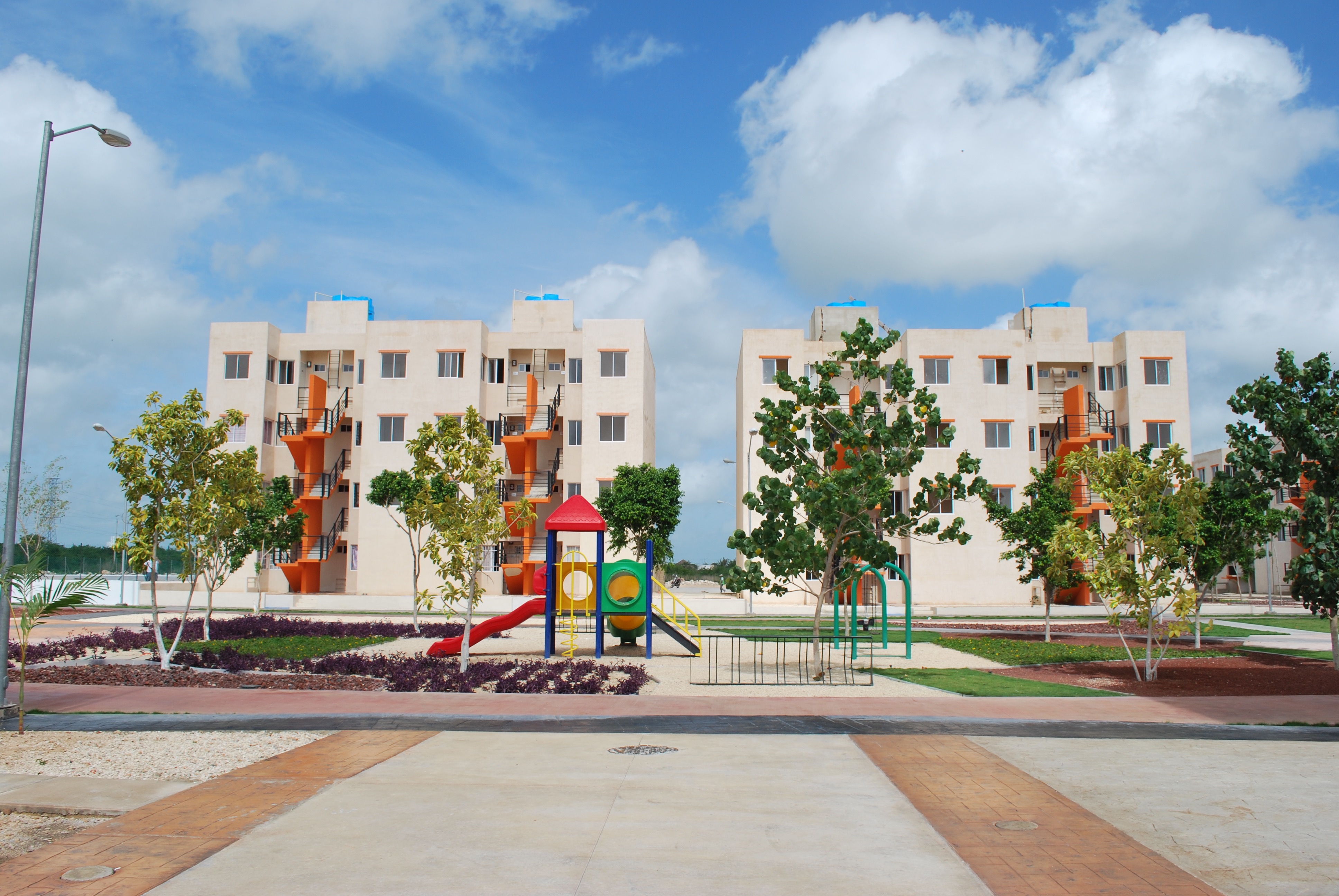
The city’s current growth is characterized by low-rise and low-density sprawl, with most of the affordable social housing provided in the form of massed housing developments located to the west of the city. Although sprawl is neither new nor unique to Mérida, what is of interest to this studio is to critically understand the questions of density and decentralization (political and territorial) as useful regimes for urban planning and design, and to approach these challenges with attention to the topography, geology, and social-economic and cultural history of the city and its larger region.